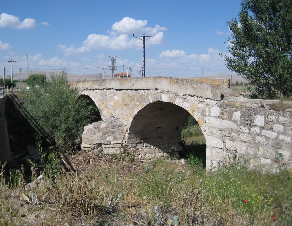
The bridge is located about 150 m. southeast of the tell of ancient Lystra, just east of the modern road. It was probably on the Via Sebaste which must have run past the foot of the tel as it continued on south. It is heavily repaired, having been still in use well into the twentieth-century.
| GPS Coordinates: | 37.596330, 32.351408 | |
| Road: | Via Sebaste | |
| River: | Sulama Kanalı | |
| Number of visible arches: | 2 | |
| Width of the bridge: Length of the bridge: Width of the arches: Height of the arches: | 3.35M with the sides 14.16M 6M 2.5M |
|
| Source(s): | RR1 B10-4Bob Wagner |


